
Routes & Direction
We will be returning to the Mount Angel Festhalle to celebrate the Beers and Gears ALS Ride! Here are the routes available to you:
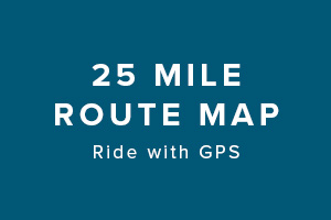
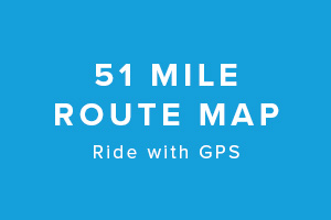
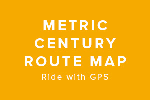
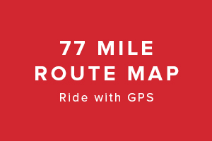
From Mt. Angel
 |
 |
 |
 |
|
 |
 |
Want to Train for the Ride In Your Own Neighborhood?
Here are some great options. Please note these routes are unsupported.
Multnomah County Greenways Loop |
Forest Grove Loop |
Oregon City Loop |
Molalla Loop |
Clark County Loop |
Marion County Loop |
Tigard Loop |
Hood River Loop |
This is a popup
Lorem ipsum dolor sit amet, consectetur adipisicing elit, sed do eiusmod tempor incididunt ut labore et dolore magna aliqua. Ut enim ad minim veniam, quis nostrud exercitation ullamco laboris nisi ut aliquip ex ea commodo consequat. Duis aute irure dolor in reprehenderit in voluptate velit esse cillum dolore eu fugiat nulla pariatur. Excepteur sint occaecat cupidatat non proident, sunt in culpa qui officia deserunt mollit anim id est laborum.